Unlocking Earth’s Secrets: A Comprehensive Guide to the Web Soil Survey
Understanding the soil beneath our feet is crucial for various purposes, from agriculture and construction to environmental conservation and urban planning. The Web Soil Survey (WSS), provided by the United States Department of Agriculture (USDA) Natural Resources Conservation Service (NRCS), is a powerful online tool that provides access to a wealth of soil data and information. This article delves into the intricacies of the Web Soil Survey, exploring its features, applications, and benefits for professionals and enthusiasts alike.
What is the Web Soil Survey?
The Web Soil Survey is a publicly accessible online platform that offers detailed soil maps and data for over 95 percent of the counties in the United States and its territories. It’s essentially a digital library of soil surveys, offering information on soil types, properties, and interpretations. This information is invaluable for anyone needing to understand the soil conditions of a particular area. The WSS integrates spatial data with tabular data, allowing users to explore soil characteristics on a map and access detailed reports about specific soil types.
Key Features and Capabilities
The Web Soil Survey boasts an array of features that make it a user-friendly and comprehensive tool:
- Interactive Mapping: Users can navigate to specific geographic areas using addresses, coordinates, or by simply panning and zooming on the map.
- Area of Interest (AOI) Definition: The tool allows users to define specific areas of interest, enabling focused analysis and customized reports.
- Soil Data Exploration: The WSS provides access to a wide range of soil properties, including physical, chemical, and biological characteristics. Data includes soil texture, drainage, slope, erosion potential, and much more.
- Interpretations and Suitability Ratings: The system offers interpretations for various land uses, such as agriculture, forestry, and construction. Suitability ratings indicate how well a particular soil type is suited for a specific purpose.
- Report Generation: Users can generate customized reports that summarize soil data and interpretations for their defined area of interest. Reports can be downloaded in various formats, including PDF and CSV.
- Data Export: The Web Soil Survey also allows users to export soil data for use in Geographic Information Systems (GIS) and other software applications.
How to Use the Web Soil Survey: A Step-by-Step Guide
Using the Web Soil Survey is relatively straightforward. Here’s a step-by-step guide to get you started:
- Access the Website: Go to the official Web Soil Survey website (search “Web Soil Survey” on any search engine).
- Navigate to Your Area of Interest: Use the navigation tools to find the location you’re interested in. You can enter an address, latitude/longitude coordinates, or simply zoom in on the map.
- Define Your Area of Interest (AOI): Use the AOI tools (rectangle or polygon) to draw a boundary around the area you want to analyze.
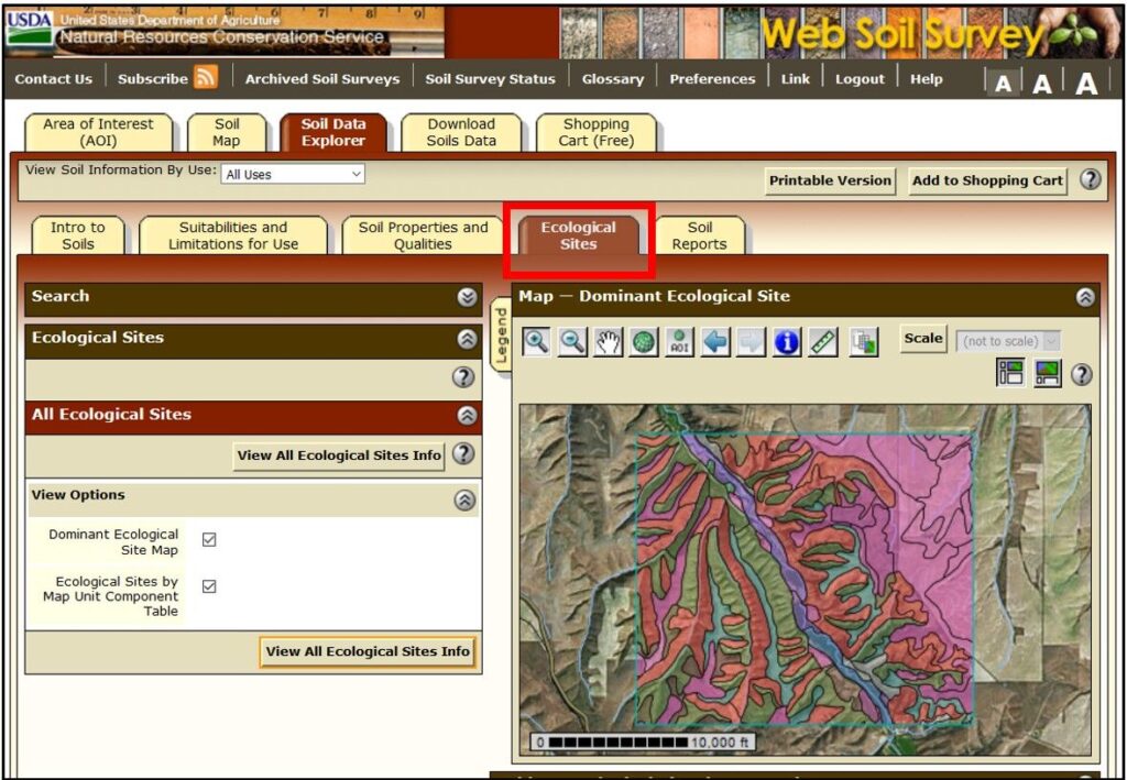
- Explore Soil Data: Once your AOI is defined, you can explore the available soil data by clicking on the “Soil Map” tab. This will display the different soil types within your AOI.
- View Soil Properties and Interpretations: Click on a specific soil type to view its properties and interpretations. You can access detailed information about soil texture, drainage, slope, erosion potential, and suitability for various uses.
- Generate Reports: Use the “Shopping Cart” tab to select the reports you want to generate. You can customize the reports to include specific soil data and interpretations.
- Download Reports: Once you’ve selected your reports, you can download them in various formats, such as PDF or CSV.
Applications of the Web Soil Survey
The Web Soil Survey has a wide range of applications across various sectors:
Agriculture
Farmers and agricultural professionals use the Web Soil Survey to make informed decisions about crop selection, irrigation, and fertilization. The tool provides information on soil drainage, nutrient availability, and suitability for different crops. This data helps optimize crop yields and minimize environmental impacts. [See also: Precision Agriculture Techniques]
Construction and Engineering
Engineers and construction professionals rely on the Web Soil Survey to assess soil stability, bearing capacity, and drainage characteristics for building foundations, roads, and other infrastructure projects. Understanding soil properties is crucial for ensuring the safety and longevity of structures. The tool helps identify potential hazards, such as expansive soils or areas prone to landslides.
Environmental Conservation
Environmental scientists and conservationists use the Web Soil Survey to assess soil erosion potential, identify wetlands, and plan restoration projects. The tool provides information on soil types, drainage patterns, and vegetation cover, which is essential for managing natural resources and protecting water quality. It can be used to identify areas vulnerable to soil degradation and to develop strategies for sustainable land management.
Urban Planning
Urban planners use the Web Soil Survey to make informed decisions about land use, zoning, and infrastructure development. The tool provides information on soil suitability for different types of development, such as residential, commercial, and industrial. This helps minimize environmental impacts and ensure the long-term sustainability of urban areas. Planners can use the WSS to identify areas with limitations for development, such as floodplains or areas with unstable soils.
Forestry
Foresters and timber managers utilize the Web Soil Survey to determine the suitability of different soil types for tree growth and to plan sustainable harvesting practices. The tool provides information on soil drainage, nutrient availability, and slope, which are critical factors in forest management. It helps optimize timber production and minimize environmental impacts. By understanding soil properties, foresters can select appropriate tree species and implement management practices that promote forest health and productivity.
Benefits of Using the Web Soil Survey
The Web Soil Survey offers numerous benefits to users:
- Accessibility: The tool is freely available online, making it accessible to anyone with an internet connection.
- Comprehensive Data: It provides a vast amount of soil data and information, covering a wide range of soil properties and interpretations.
- User-Friendly Interface: The interactive mapping and intuitive interface make it easy to navigate and explore soil data.
- Customizable Reports: Users can generate customized reports that summarize soil data and interpretations for their specific area of interest.
- Time and Cost Savings: The tool eliminates the need for expensive and time-consuming soil surveys, saving users time and money.
- Informed Decision-Making: The Web Soil Survey empowers users to make informed decisions about land use, resource management, and environmental conservation.
Limitations of the Web Soil Survey
While the Web Soil Survey is a powerful tool, it’s important to be aware of its limitations:
- Scale and Resolution: The soil maps are generalized and may not accurately represent soil conditions at a very small scale.
- Data Accuracy: The accuracy of the soil data depends on the quality of the original soil surveys.
- Data Updates: Soil surveys are periodically updated, but some areas may have outdated data.
- On-Site Verification: The Web Soil Survey should not be used as a substitute for on-site soil investigations, especially for critical applications.
The Future of the Web Soil Survey
The Web Soil Survey is constantly evolving to meet the changing needs of its users. Future enhancements may include:
- Improved Data Accuracy: Continued efforts to improve the accuracy and resolution of soil maps.
- Integration with Other Data Sources: Integration with other geospatial data sources, such as climate data and land use data.
- Enhanced Modeling Capabilities: Development of more sophisticated models for predicting soil behavior under different conditions.
- Mobile Applications: Development of mobile applications for accessing soil data in the field.
Conclusion
The Web Soil Survey is an invaluable resource for anyone seeking to understand the soil beneath their feet. Its comprehensive data, user-friendly interface, and wide range of applications make it an essential tool for agriculture, construction, environmental conservation, and urban planning. While it’s important to be aware of its limitations, the Web Soil Survey empowers users to make informed decisions about land use and resource management, ultimately contributing to a more sustainable future. By leveraging the power of the Web Soil Survey, we can unlock the secrets of the soil and harness its potential for a variety of purposes.
